It looks like nothing
Ground photos of open land show scrub and a fence. From 60 m the same land shows its shape, its road, its lake, its hill.
For plotted developments · farm land · second-home communities
We fly your land once and hand you the whole sales kit as a single link: every plot on a map buyers can tap, the view from above, the drive from the highway, the launch film.
Flown for Samira Habitats · Kesariya Farms · Community Farm, Shahapur
Why plots are hard to sell online
Ground photos of open land show scrub and a fence. From 60 m the same land shows its shape, its road, its lake, its hill.
A PDF layout means nothing to a family in Mumbai. A map they can tap, with a 360° view standing on that plot, does.
Every buyer asks. We fly the drive from the highway exit to your gate and caption it with real minutes.
What you get
Take the whole kit or a single piece. Everything arrives as a link — no app, no files to forward.
the full microsite
stand on any plot
the drive, filmed
Building towers too? See the real-estate packages ↗
Plot and land projects · real client links
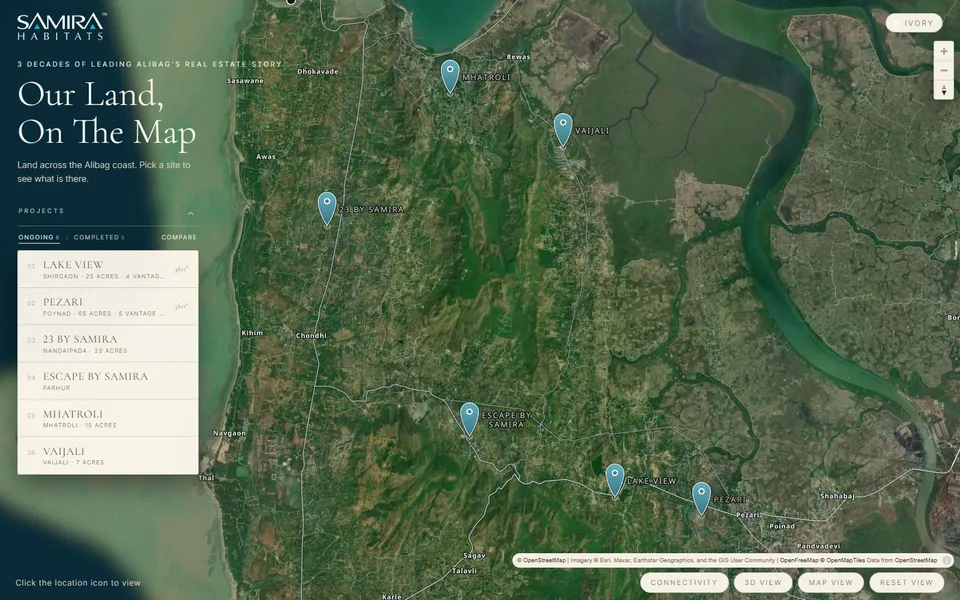 Open live map ↗
 Samira Habitats · 2026
An interactive project map for two plot developments — Lake View and Pezari — with connectivity layers and a 360° tour. The whole sales instrument, not a video.
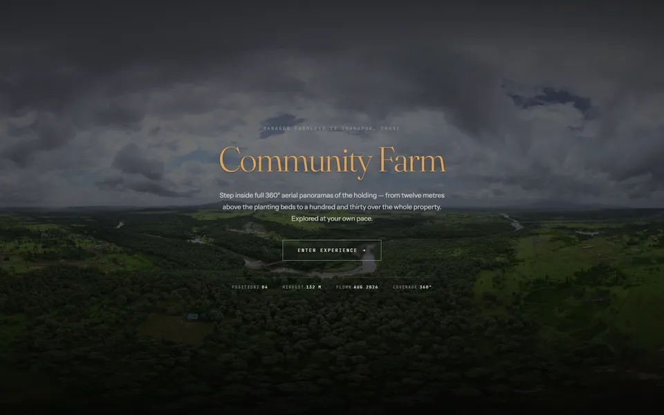 Open 360° tour ↗
 Community Farm · 2026
Georeferenced 360° aerial tour of a plot development. Four positions, 12 m to 132 m.
Samira Habitats · 2026
Plot launch film: the land, the show villa, the map, the drive from Mumbai.
Full film on WhatsApp →Samira Habitats · 2026
Animated plot map with phases and availability, cut for the sales deck.
Full film on WhatsApp →Samira Habitats · 2026
The Konkan coast from above with every project and landmark placed and timed.
Full film on WhatsApp →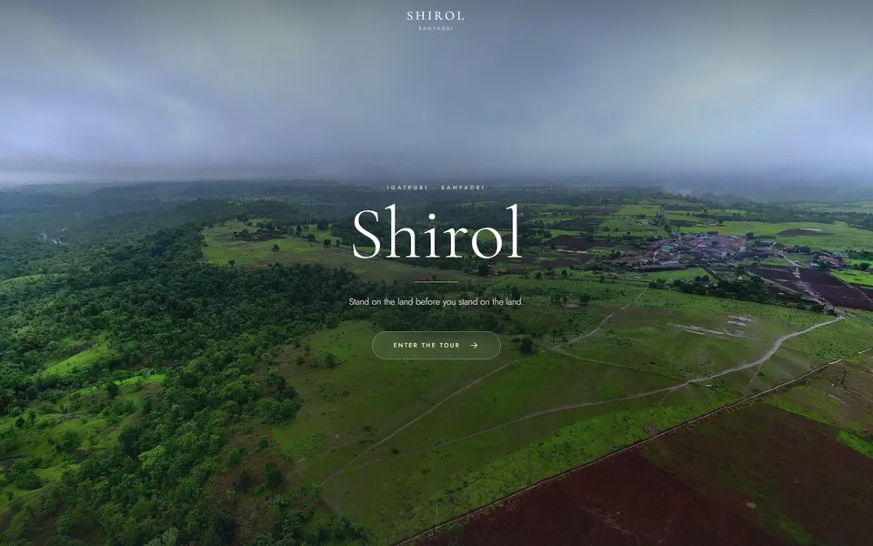 Open 360° tour ↗
 Shirol · 2025
Plot-development tour: the land from the ground and from the air, before the site visit.
Kesariya Farms · 2026
Farm-plot launch film, Shahapur: the highway approach, the boundary, the food-forest plan.
Full film on WhatsApp →Plot developer, Vangani · 2024
The land in monsoon green, the waterfall on its edge, the road in. Cut as the launch film for a plotted community.
Full film on WhatsApp →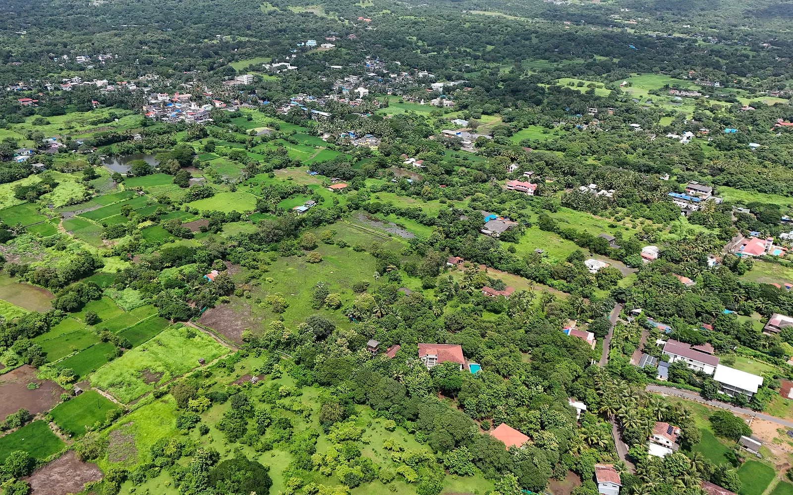 Photo ↗
 Samira Habitats · 2026
A grid of aerial panoramas across the parcel, so a buyer can stand anywhere on the land from a phone.
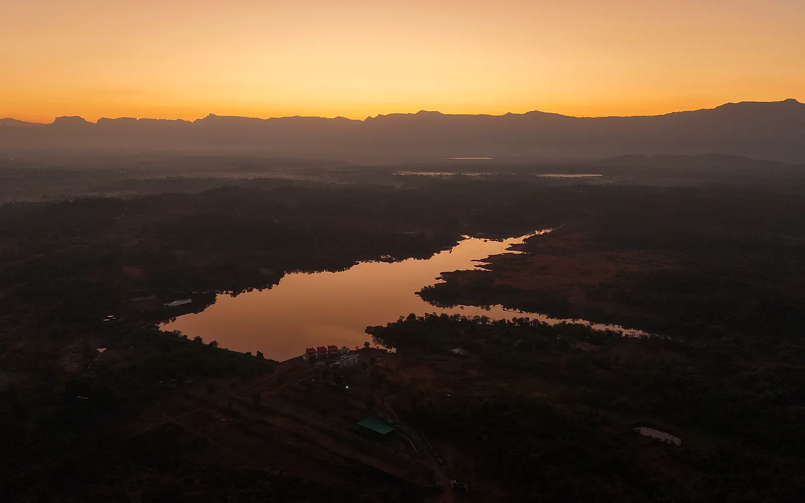 Photo ↗
 Plot developer, Murbad · 2025
The lake the project is named for, flown before sunrise. One frame that sells the address better than a site plan.
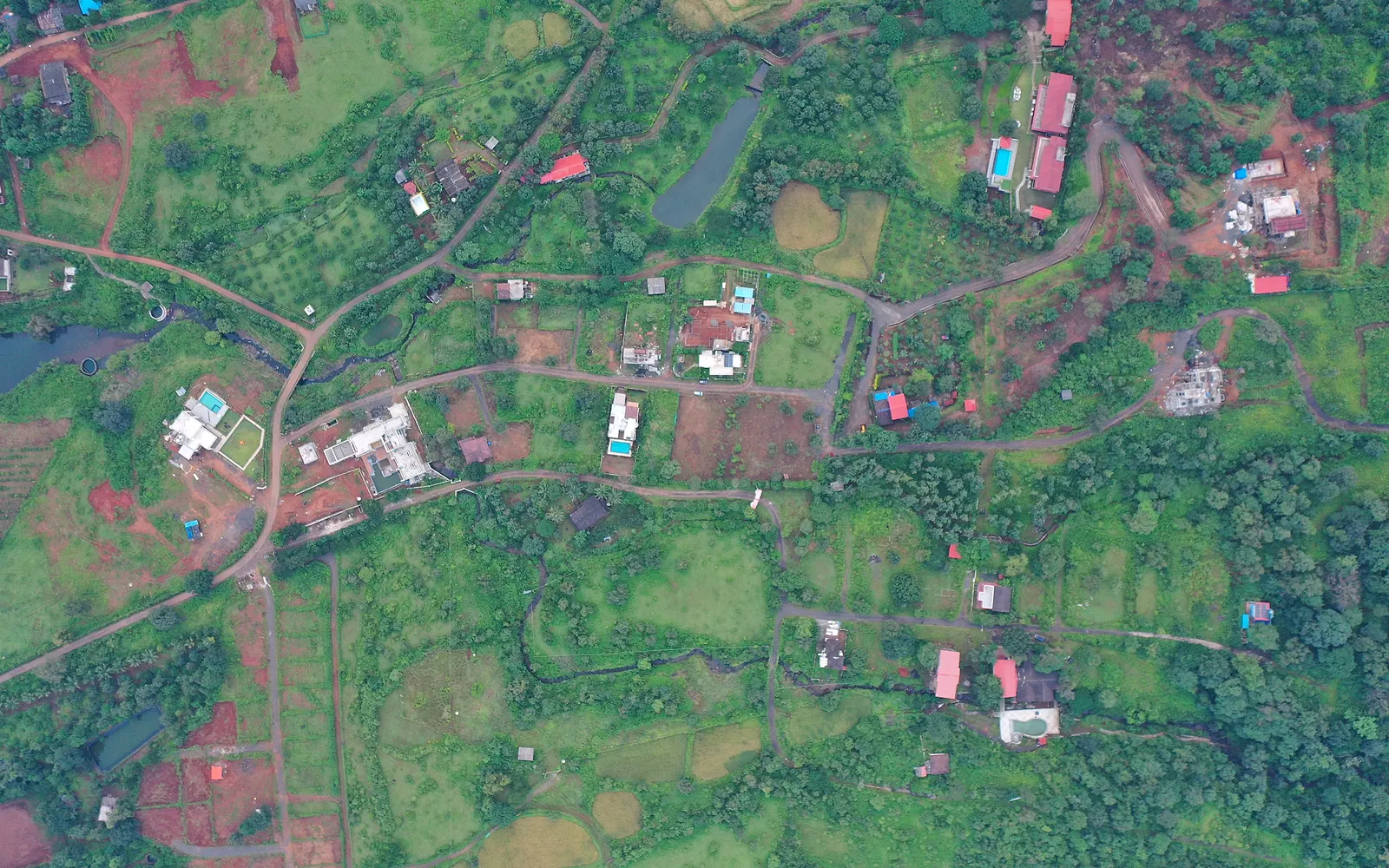 Photo ↗
 Land owner, Karjat · 2024
A true top-down of the holdings, internal roads and neighbouring farmhouses — the base layer for a plot map.
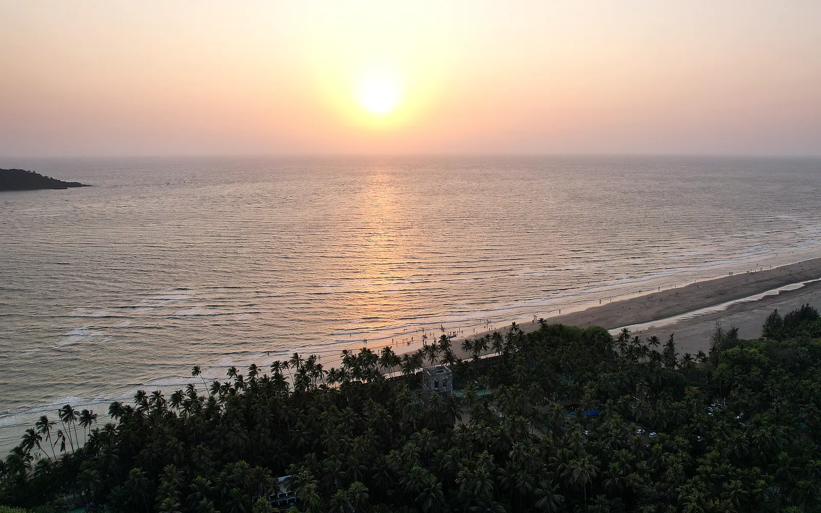 Photo ↗
 Land owner, Alibaug · 2025
The shoreline, the palms and the evening light — location aerials for a coastal holding.
How it works
A Google Maps pin on WhatsApp and one line about what you need. That is the whole brief.
Airspace and DJI fly-zone check, light and weather, a shot or survey plan, and a fixed quote — usually the same day.
Most flights are done before 10 am. Licensed pilot, insured aircraft, no disruption to your site.
Films, maps, 360° tours and reports arrive as links that open on any phone. Raw files are archived for later.
Book a flight
Where it is, what it's for, when you need it. We come back with a flight plan, the deliverables and a quote — usually within a day.