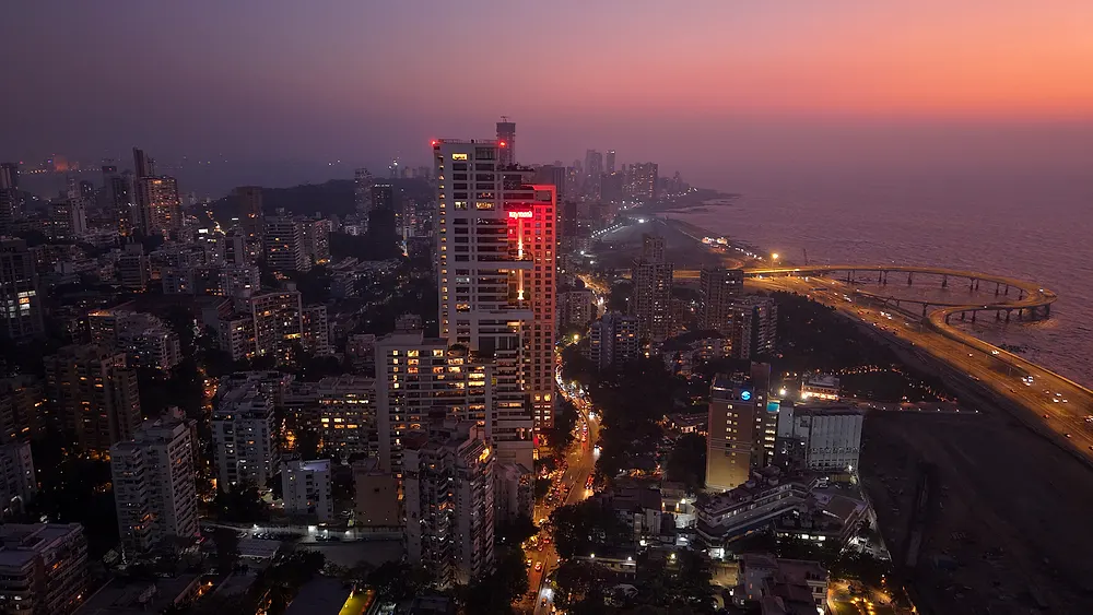
Aerial cinematography · Survey · Reality capture — Thane, Maharashtra
Fly it.
Model it.
Keep it.
From cinematic aerial film to survey-grade 3D you open in a browser. We've flown for Raymond, Lodha, Adani and Zee Music. Your site is next.
Flown for
-
 Building scan · progress · film
 -
 3D Gaussian splat
 -
 Data centre · 20 flights · splat
 -
 Music videos
 -
 Plot launch · map · 360°
 - NeoClassic Music videos
- KDMC Municipal aerial
- TMT Municipal aerial
Selected work
Open it. Don't just watch it.
-
Preet Bandre · 2024
Avtan
Marathi koligeet. Aerial cinematography, edit and colour by Akash Sambare.
- Views
- 17M+
- Open 3D splat ↗
Raymond · 2025
Raymond building scan
Drone photogrammetry to a 3D Gaussian splat you can orbit in the browser. Mumbai.
- Pipeline
- Pix4D → splat
- Frames
- 6,900+
- Open 3D splat ↗
Lodha · 2025
Lodha site
3D Gaussian splat of a live development site.
- Open 3D splat ↗
Adani · 2025
Adani, Pune
Data centre, Pune. Flown every fortnight for fifteen months, then modelled as a 3D Gaussian splat.
- Flights
- 20
- Span
- May 23 → Aug 24
- Open live map ↗
Samira Habitats · 2026
Samira Habitats, Alibag
An interactive project map for two plot developments — Lake View and Pezari — with connectivity layers and a 360° tour. The whole sales instrument, not a video.
- Projects
- 2
- Deliverable
- Live map + 360°
- Open 360° tour ↗
Community Farm · 2026
Community Farm, Shahapur
Georeferenced 360° aerial tour of a plot development. Four positions, 12 m to 132 m.
- Altitudes
- 12 → 132 m
-
Zee Music Company · 2025
Baarishon Ke Sang
Rishabh Srivastava & Aayra Katre.
-
Zee Music Company · 2025
Qaid Nahi Hai
Rishabh Srivastava, Jyotica Tangri, Shivangi Bhayana.
-
Zee Music Company · 2025
Dekh Lene Do
Rishabh Srivastava & Annsh Shekhawat.
-
NeoClassic Music · 2025
Chhore Toofani
Haryanvi. Vikas Sehrawat.
-
NeoClassic Music · 2025
Kahan Jayen Hum
Narender Singh Nadeem ft. Suboor Khan.
-
NeoClassic Studios · 2025
We are JBM School
School brand film.
- Open 360° tour ↗
Demo · 2025
Drone VR walkthrough
Aerial 360° VR experience.
- Open 360° tour ↗
Demo · 2025
Hospital 360° tour
Interior virtual tour.
What we do, by altitude
Every job has a height.
Here's ours.
Drone Rules 2021 cap commercial flight at 120 metres above ground. Where a shot is flown from tells you what it's for — so that's how we've organised the work.
-
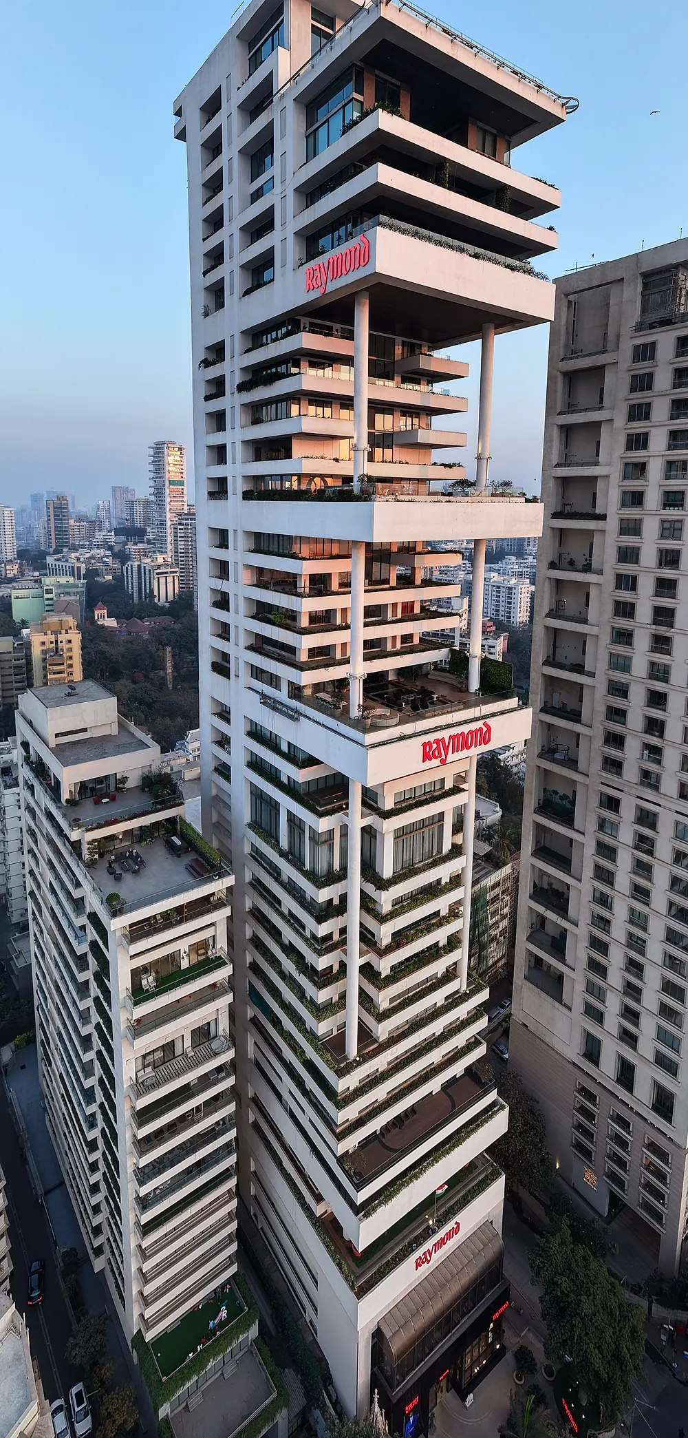
Aerial film
Events · music videos · real estate exteriors
Low, close and cinematic. Close enough to read faces at a wedding; steady enough for a T-Series master. Shot, graded and delivered ready to publish.
- 4K graded master
- Vertical cuts for Reels
- Stills, colour-matched
- Same-day teaser on request
-
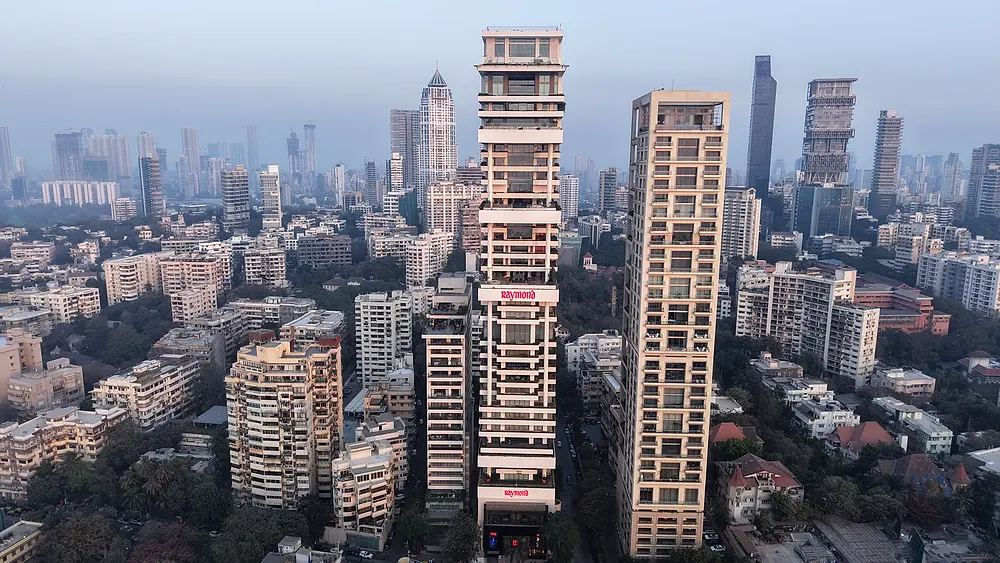
Progress monitoring
Developers · contractors · RERA reporting
Same waypoints, same altitude, every month. You see the site change; your contractor knows you can see it. We ran this for Raymond at Ulwe for a year.
- Monthly dated capture
- Before/after comparison
- Orthomosaic + volumes
- PDF sized for the RERA quarterly
-
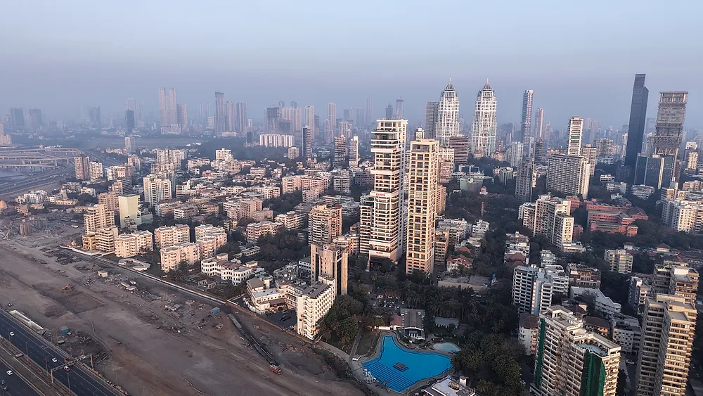
Survey & 3D
Land · infrastructure · sales galleries
The legal ceiling, and where mapping lives. Photogrammetry to orthomosaics, point clouds and Gaussian splats you orbit in a browser. For plot developers: the interactive map that sells the land.
- Orthomosaic, 2–5 cm/px
- DSM / DTM · contour DXF
- LAS point cloud
- 3D Gaussian splat · web viewer
What's above the line
Corridor work, night operations and long linear infrastructure need permissions most operators don't hold. We're building toward them — and toward the analysis that turns four thousand frames into the twelve that matter. Ask us where we are.
Simulator
Never flown a drone?
Fly ours.
DJI-style sticks, a gimbal dial, a real OSD, and four missions up the same four altitudes. Runs in the browser, works on your phone.
Progress monitoring · Adani, Pune
Fifteen months.
One slider.
A data centre, flown every fortnight from bare land in May 2023 to a steel structure in August 2024. Drag through it — this is what a monthly retainer delivers, and what your contractor's invoice has to agree with.
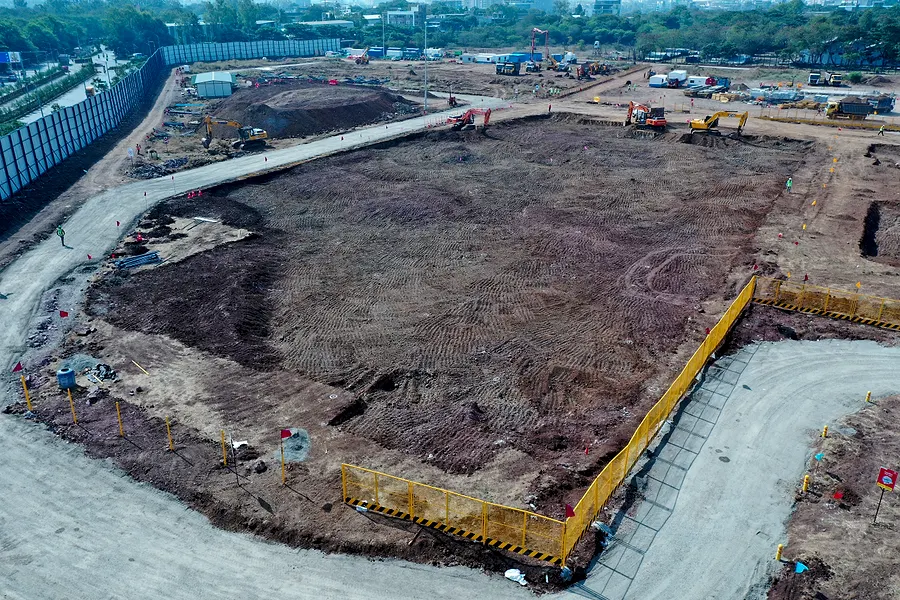
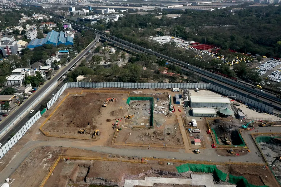
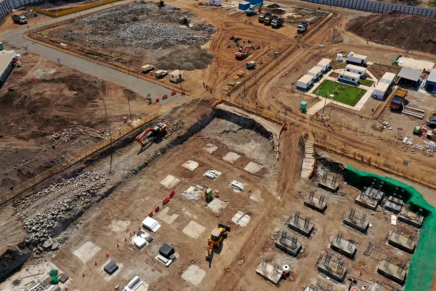
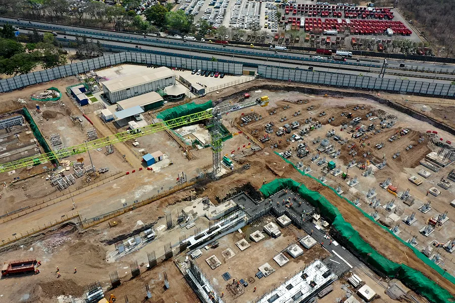
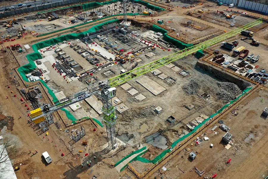
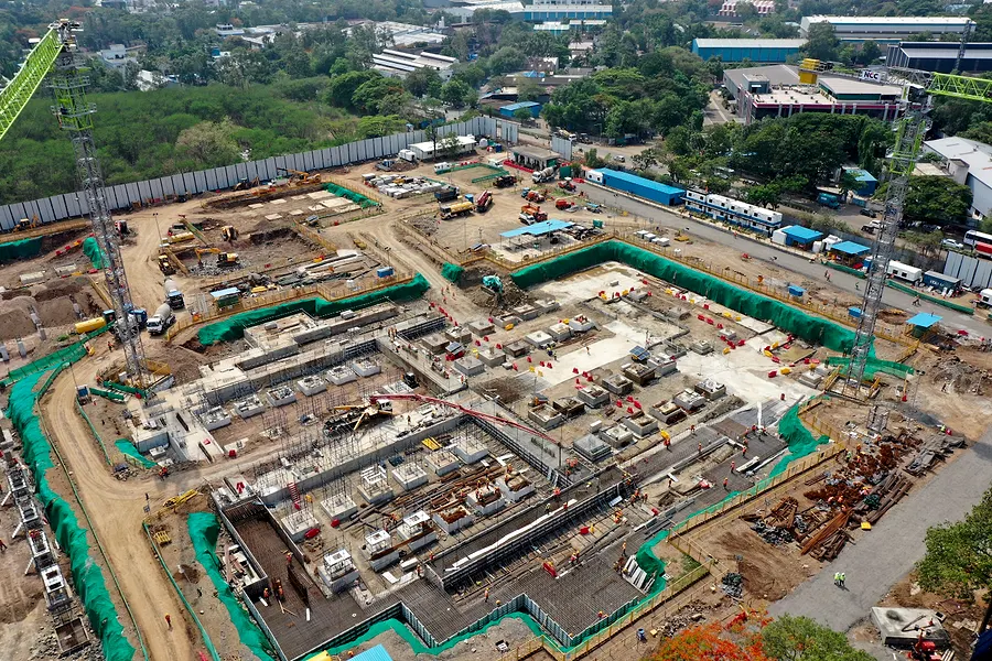
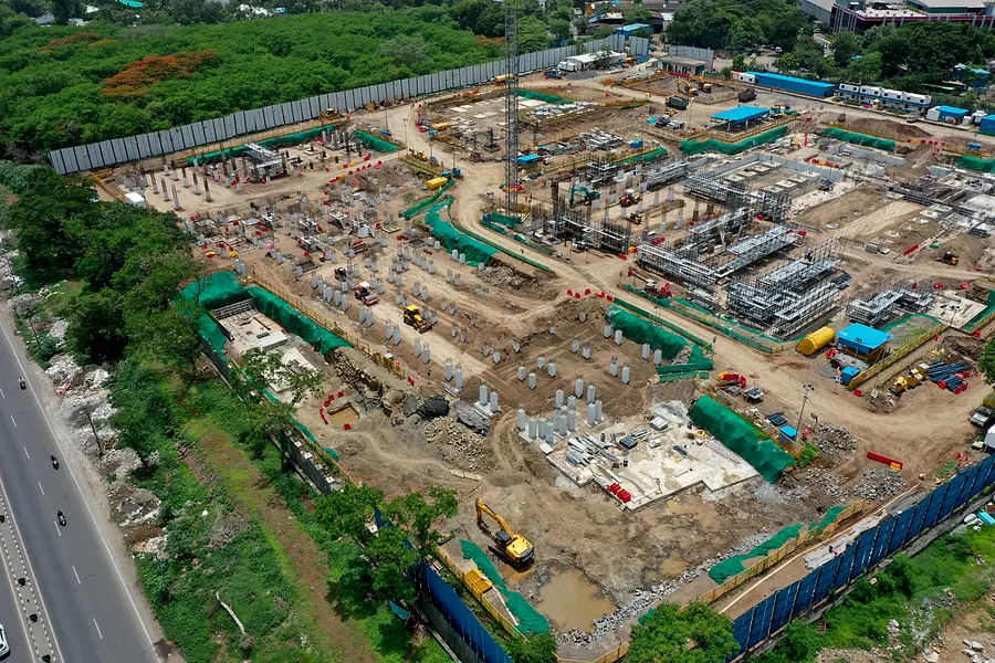
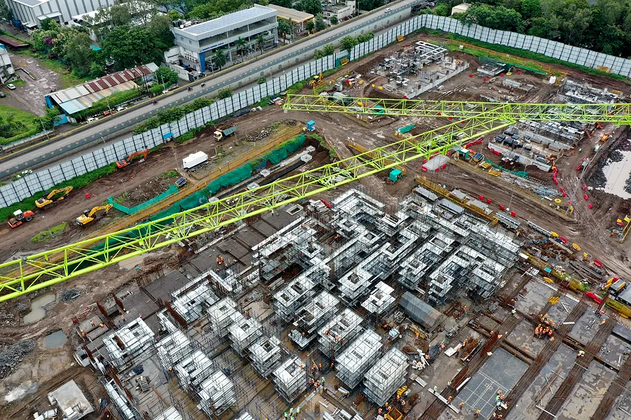
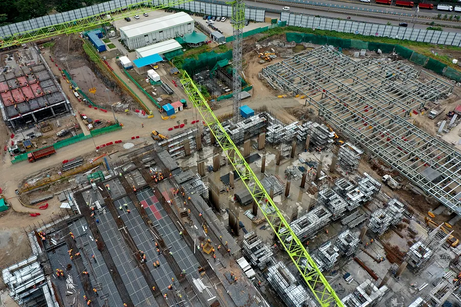
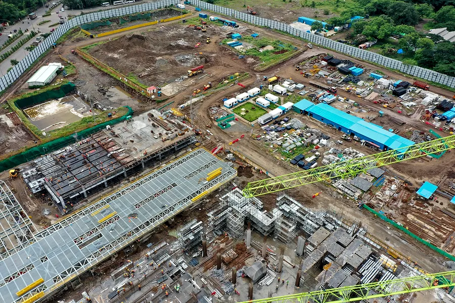
Fortnightly or monthly capture, before/after comparison, orthomosaic and volumes, and a PDF sized for the RERA quarterly. Priced per site, per month.
Ask about a retainerProgress monitoring · Raymond, Ulwe
Seven months.
Same ground.
A second site, a different scale: a temple complex at Ulwe, February to September 2025. Excavation to roof.
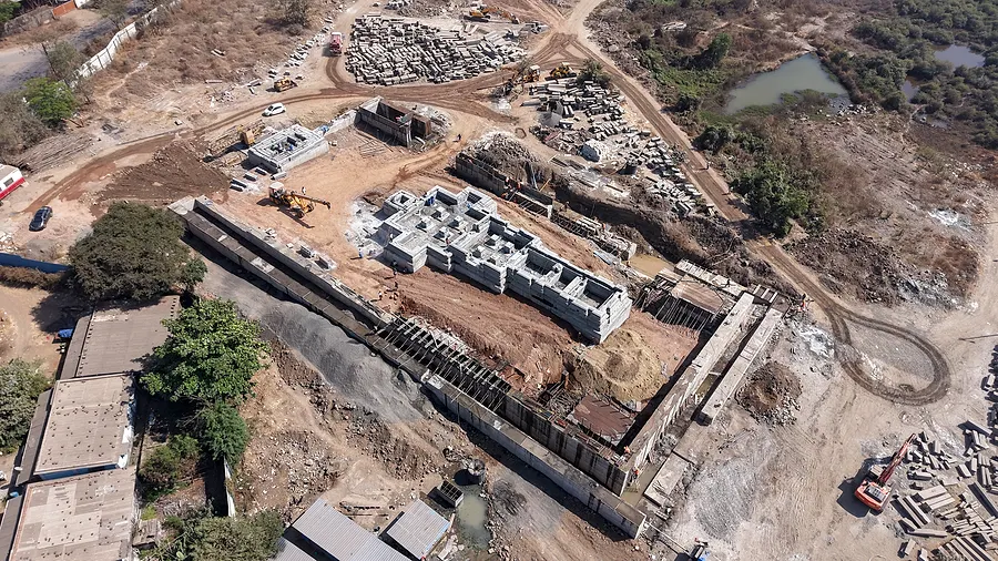
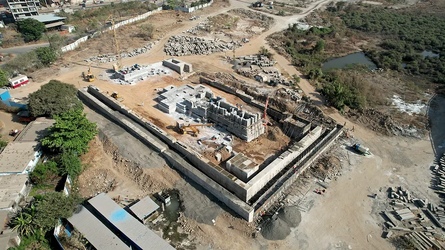
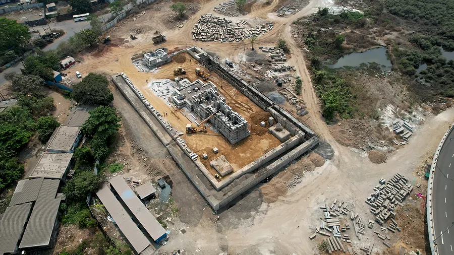
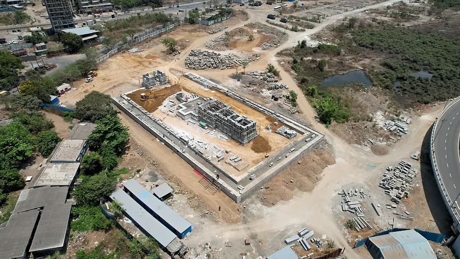
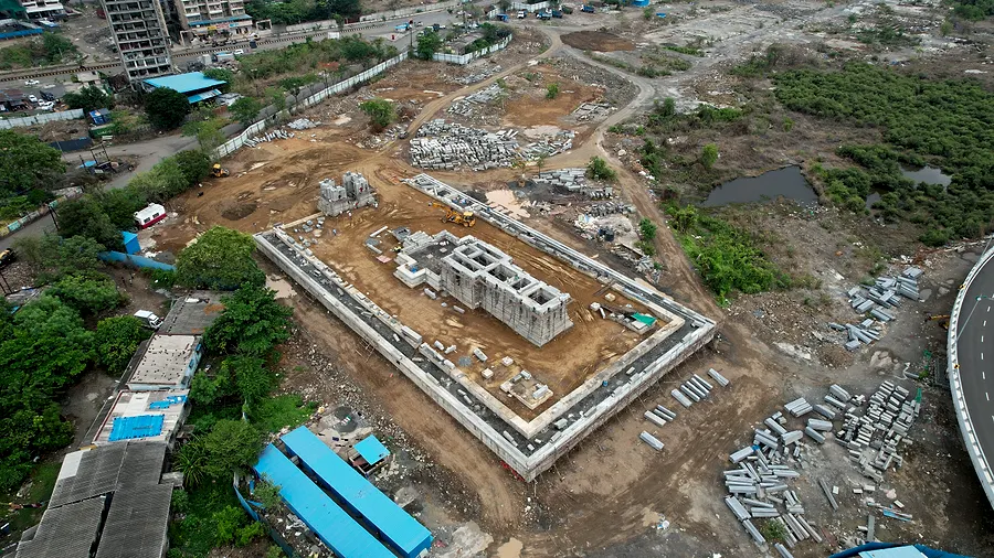
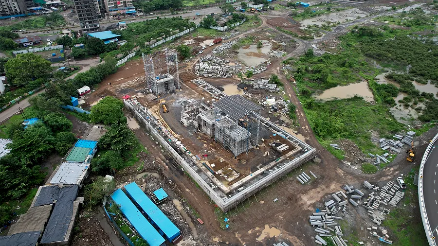
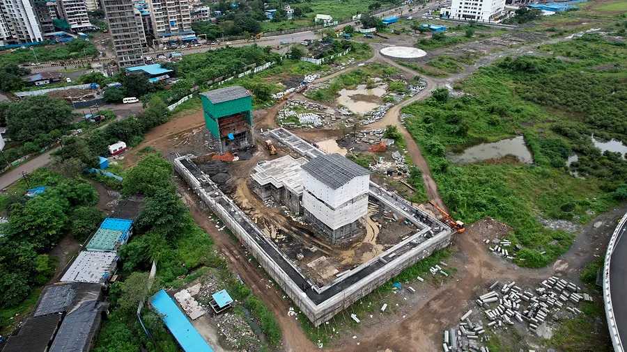
Two clients, two years of dated aerial records. The same service fits a plot launch, a tower or a factory floor.
Book a siteCrew
A filmmaker, two engineers,
a game developer and an AI guy.
That's why the work doesn't stop at footage. We fly it, then we model it, then we build the thing you actually open — the map, the splat viewer, the tour.
-
PIC · DOP
Akash Sambare
Founder
Aerial cinematography, edit, colour. Shot Avtan (17M views). Founder of Agovthi.
“Jaduchi Peti” — award-winning short film ↗ -
ANIM · MECH
Sanket Dhone
Technical Head
Animation and mechanical engineering. Rigs, mounts, the things that keep a payload steady.
-
PIC · CIVIL
Mayur Dhone
Pilot · Civil Engineer
Flies the survey missions and reads the site the way a site engineer does.
-
DEV · XR
Devarth Sambare
Developer · AR/VR
Game developer. Builds the splat viewers, the VR tours and the interactive maps clients actually use.
-
AI · ROBOTICS
Pratik Patil
AI & Robotics
Automation and analysis — turning thousands of frames into the twelve that matter.
-
EDIT · PILOT
Nishant Sambare
Editor · Junior Pilot
Cuts the films and flies second camera.
Ground station · live
Can we fly today?
Wind, gusts, rain and visibility right now where we fly most, scored against what a Mavic-class aircraft and line-of-sight rules allow. The pilot still decides on site.
- Thane …
- Wind 10 m
- —
- Wind 120 m
- —
- Gusts
- —
- Rain
- —
- Visibility
- —
Checking conditions…
- Mumbai …
- Wind 10 m
- —
- Wind 120 m
- —
- Gusts
- —
- Rain
- —
- Visibility
- —
Checking conditions…
- Alibag …
- Wind 10 m
- —
- Wind 120 m
- —
- Gusts
- —
- Rain
- —
- Visibility
- —
Checking conditions…
- Pune …
- Wind 10 m
- —
- Wind 120 m
- —
- Gusts
- —
- Rain
- —
- Visibility
- —
Checking conditions…
Source: Open-Meteo, hourly. To film we want gusts under 28 km/h; 40 km/h is a hard stop. Any rain grounds us. Line of sight needs 3 km of visibility.
Book a flight
Tell us about the site.
We'll plan the flight.
Where it is, what it's for, when you need it. We come back with a flight plan, the deliverables and a quote — usually within a day.